Document My Land
Professional aerial mapping and property documentation for landowners, ranches, acreage, development, and planning.
Whether you're buying, selling, managing, or improving land, Drone A.I. LLC creates professional aerial documentation that helps you better understand and manage your property.
Why Land Documentation Matters
Every piece of land changes over time.
Whether you're preparing to build, documenting acreage, monitoring erosion, or simply creating a permanent record of your property, professional aerial documentation provides information that's difficult to capture from the ground.
Drone A.I. LLC combines high-resolution aerial photography with mapping technology to create organized documentation you can reference for years to come.
Services
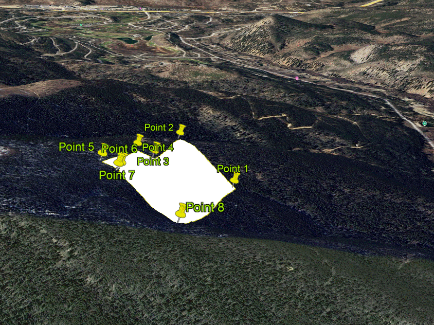
Property Mapping
Create detailed aerial maps that provide a clear overhead view of your property.
Boundary Documentation
Document visible property features, access roads, fences, tree lines, and landmarks to help visualize your land.
Terrain & Topography Documentation
Visualize slopes, elevations, drainage patterns, and natural features to assist with planning and property management.
Progress Documentation
Capture changes over time for construction projects, land improvements, reclamation, or property development.
Perfect for:
-
Acreage owners
-
Ranches
-
Farms
-
Vacant land
-
Recreational property
-
Developers
-
Builders
-
Survey support (documentation only)
-
Real estate professionals
What's Included
✓ High-resolution aerial photography
✓ Orthomosaic maps
✓ 3D models (when appropriate)
✓ Property overview imagery
✓ Terrain visualization
✓ PDF report
✓ Digital delivery
See Your Property From a New Perspective
Professional aerial documentation provides information that supports planning, documentation, property management, and long-term ownership.
Colorado Land Experience
Drone A.I. LLC has experience documenting Colorado properties ranging from residential lots to large mountain parcels. Every project begins with a review of terrain, vegetation, airspace, weather, and access to ensure the best possible results.